CEPF is a joint initiative of l’Agence Française de Développement, Conservation International, the European Union, Fondation Hans Wilsdorf, the Global Environment Facility, the Government of Canada, the Government of Japan and the World Bank. A fundamental goal is to ensure civil society is engaged in biodiversity conservation.
Visitez le site français コア情報の日本語翻訳を読むOr use Google Translate to translate the English site to your language:
GTranslate
Investment
Ecosystem Profile
Stats
CEPF Strategy Strategy
About this hotspot About
Investment
Eligible Countries
Ecosystem Profile
CEPF’s investment in the hotspot strengthened an integrated vision for scaling up conservation interventions. We helped refine the identification of priority conservation sites, as well as create and strengthen public, private and community-managed protected areas.
Innovative tools, such as payments for environmental services and incentive agreement schemes, were tried and tested, bringing to light new conservation approaches that consider market incentives and merit continued investments. Management plans were also created for numerous areas and updated for others. Indigenous and afro-descendant groups led the development of a sustainable vision for their territory, which has brought these areas under improved management.
The identification, promotion and implementation of sustainable development initiatives with communities surrounding protected areas showed important progress in curbing threats to these areas while also offering alternative livelihood options for local groups.
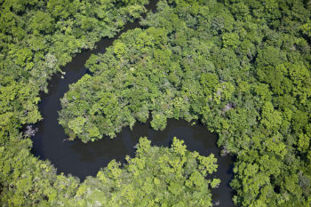
From the Panama Canal, the hotspot extends south and east into the wet and moist forests of Panama's Darién Province, through the Chocó region of western Colombia and the moist forests along the west coast of Ecuador, and into the dry forests of eastern Ecuador and extreme northwestern Peru. Formerly called the Chocó-Darién-Western Ecuador Hotspot, it has been expanded to include several new areas, notably the Magdalena Valley in northern Colombia.
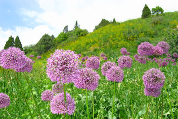
Tumbes-Chocó-Magdalena includes a wide variety of habitats, ranging from mangroves, beaches, rocky shorelines and coastal wilderness to some of the world's wettest rain forests in the Colombian Chocó. Scattered throughout the relatively flat coastal plain are a number of small mountain systems that have fostered the evolution of "islands" of endemism within the region.
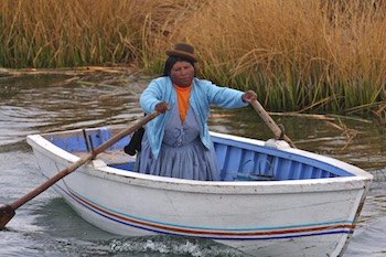
Residents of the region include more than 250 communities of African descendants and indigenous and mestizo groups.
